Quacking ducks blast me awake at 4:19am. (That alarm sound never gets old.) I’ve been filled with anticipation since we drove over to camp at the Challenger Point trailhead, but I wake slowly. Carly and Ryan seem to be on the same page. It takes us a few minutes to actually rise out of the tent and into the dark, cold morning. I normally hate getting up when it’s dark and cold, but I’m down to do it if it means adventure.
Camping at the trailhead saves us a ton of time, but we still have to strategically put on layers, stow away our camping gear, eat a light breakfast, pack up the car, and double check we didn’t forget anything before starting on the trail.
Important things I’ve failed to bring on 14er hikes in the past: screenshots of the route, sunscreen, gloves, hats (both winter and a baseball cap), sunglasses, enough food, enough water, enough layers (rain jackets are so key), enough phone battery.
At 5:38am, we’re officially on our way! The goal is to hit both Challenger Point and Kit Carson Peak so we can bag two 14ers in one day, especially since the standard (and least challenging) route to summit Kit Carson is via Challenger Point. And we are definitely not going to want to have to hike Challenger Point again just to get to Kit Carson Peak. A few different factors are going to help us decide whether we can make it, though: weather conditions, our energy level, and how long it takes us to summit Challenger Point.
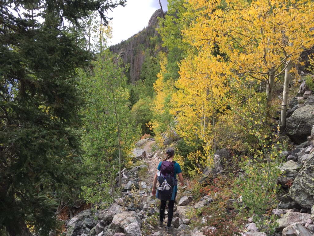
Quick details on the route we’re taking (Kit Carson Peak via Challenger Point): 6,250 feet in total elevation gain, 14.5 miles roundtrip from our starting point, moderate exposure on the mountain, easy class 3 terrain (which means we’ll have to do some scrambling, or use our hands to navigate parts of the route). In other words, this is a super aggressive hike. I usually budget an hour for every thousand feet in elevation gain if it’s class 2 terrain and if I’m confident in my ability to stay on-trail. This is only my second hike that will involve class 3 terrain, so it’s about to be a toss-up.
The first section of the trail is simply an approach (all easy hiking) to Willow Creek, but it’s nearly 5 miles just to get there. A common strategy is to hike in to the creek and camp there overnight rather than back where we camped, but we wanted to avoid the ongoing black bear problems in this area at this time. I’m also semi-glad to be gaining elevation slowly at first since I got altitude sickness on my last 14er hike.
At 7:05am, we take a quick break, and I’m relieved to find my breathing and vision are perfectly fine. I think I’m going to be okay for the rest of the hike. We don’t get to Willow Creek until 8:30am. By this point, we’ve climbed nearly 3,000 feet already, but we still have about 2,500 to go to summit Challenger Point.
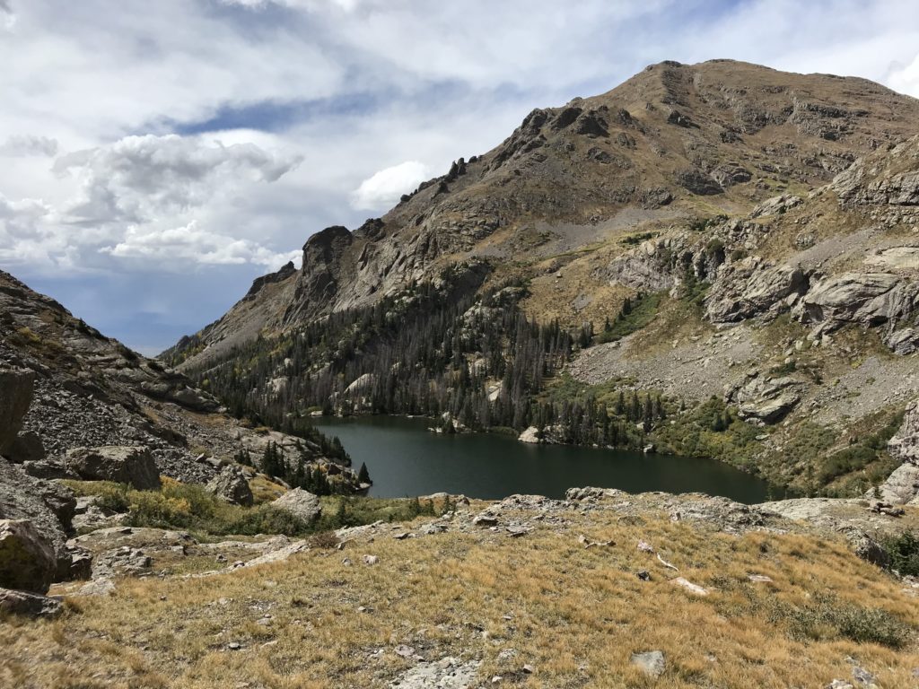
This is one of the prettiest hikes I’ve ever done! 14ers are always more enjoyable when you have more than grey rock to stare at as you climb. Pictures don’t do them justice, but the rocks on this hike are going to be so aesthetically pleasing to stare at for hours on end!! They are gorgeous (I absolutely nerd out about nature), with blue and purple spots making each slab look like a piece of art.
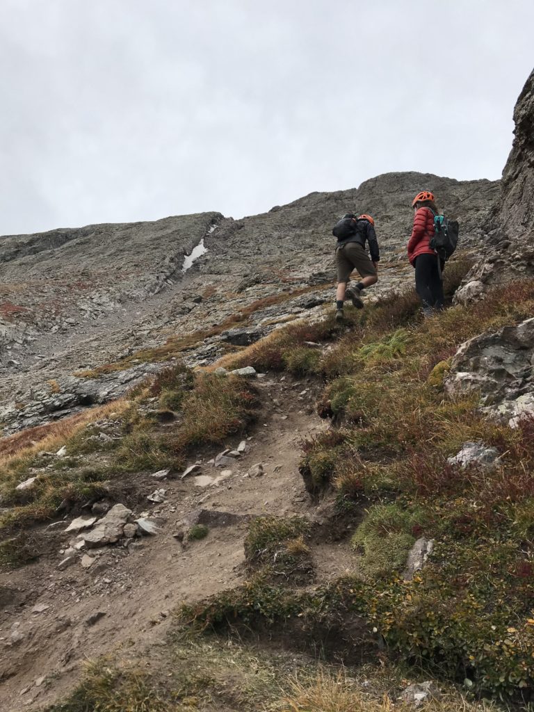
We begin to take on our first loose gully (the fricken WORST) at 9:17am, helmets engaged to protect our heads in case anyone above us sends rocks flying down. I’m already thinking about how much hiking back down the loose dirt and rocks is going to suck. Climbing down is always worse than climbing up, in my opinion.
The views are getting really good now, especially as thick, white clouds begin rolling through. We spot trail maintenance workers up ahead of us in the gully, and when we reach them, we ask if they have any idea if these clouds mean anything. They’ve started getting thicker, and we’re hesitant to keep going if they mean rain or extremely poor visibility ahead. We can’t see the bottom of the gully at all anymore, and it’s kind of spooky!
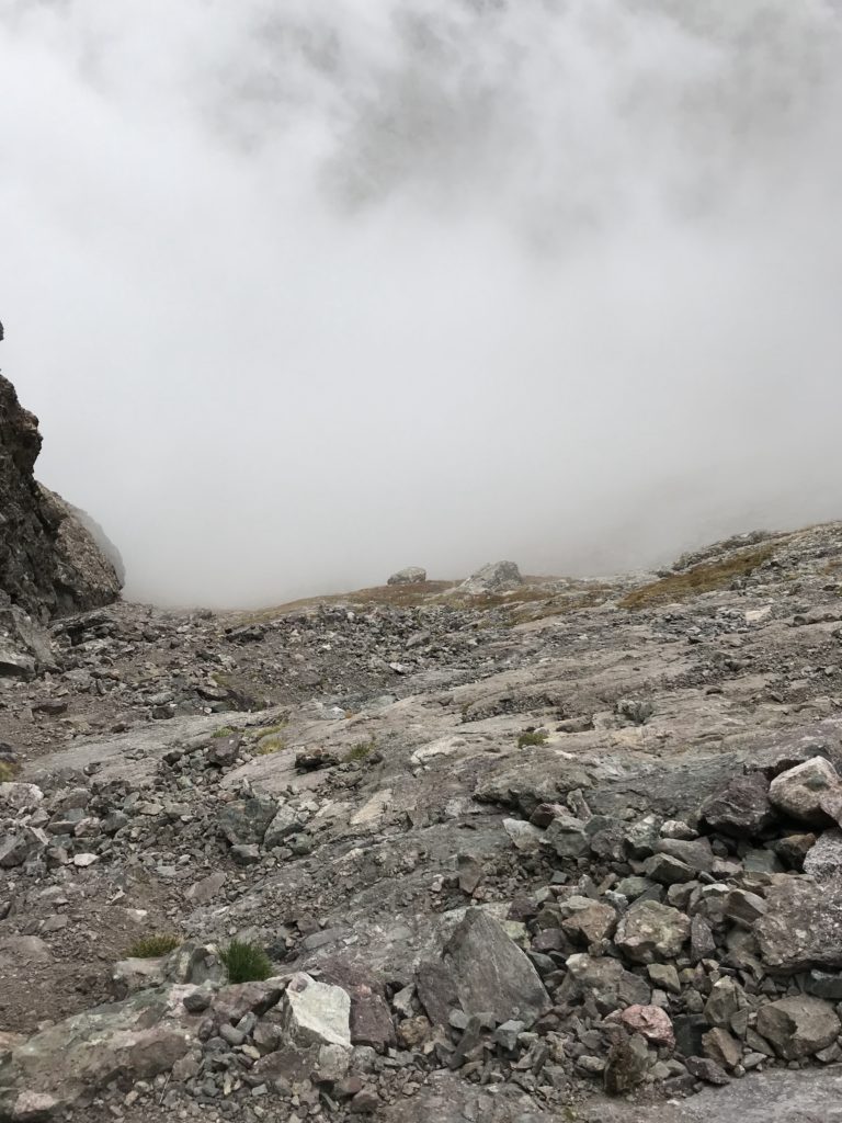
But the workers say that even though they’ve never seen anything like it before, it doesn’t look like a storm. The clouds seem to be passing through fairly quickly, so we decide to continue onward. We hope the sun comes out soon to melt them away.
Another half hour of hiking up the gully and we spot the first group of hikers we’ve seen on the trail so far (14er trails are not usually so empty, in my experience). They tell us they’ve turned around to head down because of the clouds. This makes me slightly anxious, but Carly, Ryan and I agree, once again, that we feel comfortable continuing on.
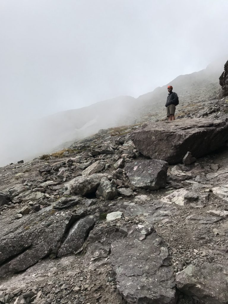
Our first instance of losing the trail occurs just after 10am. Ryan chooses to keep climbing along the rock wall on the right while Carly and I venture left to follow a dirt path marked by cairns (piles of rocks that hikers stack to indicate a trail). Usually, in open, rocky terrain, you can pick a line and follow the general direction of the route to pass a section of terrain.
The route description and screenshots I have make sense up until this point. But now, the dirt path Carly and I follow leads to a literal cliff drop, so that can’t be right! We have no idea how or why this dirt path was created, since it is clearly tracked out yet leads to a dead end. We climb across the rocky openness towards Ryan, who is still making progress on the steeper side of the mountain.
After searching around for a bit, and with no help from my screenshots, we spot a cairn and what looks like the legitimate trail! This is a small victory, though, as a few minutes later, we’re back in no man’s land, not a single cairn in sight. We test out a couple different lines that look like they might be the route, but we’re not confident about any of them. They all seem to be taking us up into steeper, more difficult terrain. This hike is supposed to be capped at easy class 3, but we find ourselves doing some class 4 climbing.
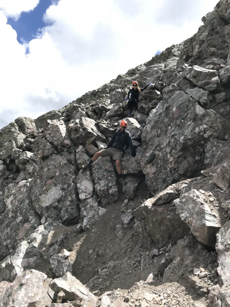
This doesn’t feel right to me at all. Ryan thinks we’re headed the right way, but I’m 100% sure we’re not. Carly and Ryan are high above me by now, since I’ve stopped to get my bearings. We’re yelling to each other, trying to figure out what to do. How isolated we truly are is starting to hit me. If something were to happen, it’s not like any of us have service right now.
Even though it’s probably not wise to split up, I don’t feel comfortable following them, so I yell that I’m going to downclimb to look for the trail. They are barely in sight at this point, and I hear Carly shout that they’ll keep yelling as they go so we can keep tabs on each other until our lines merge. I’m really not sure if that’s how this is going to work out, since we’re heading in opposite directions, but we’re both set on doing things our own way.
It takes me a little while, but I find the trail! I am so proud of myself! I’ve had to do this before, while hiking up Mount Evans solo, but this situation is a little spookier since I’m dealing with rougher terrain. I try yelling to Carly and Ryan, but I don’t hear a response. I keep going.
Although I’m confident I’m on the right track because I’m following clear cairns now, the trail is significantly more challenging than I anticipated it to be. I honestly think that since the time the route description was published on 14ers.com, the trail has become steeper and looser due to the elements.
This is gully number two. I’m using my hands on the loose dirt and rocks, checking my weight as I go. If I slip, I could end up going a long way down. And I especially don’t want to hurt myself now that I’m alone.
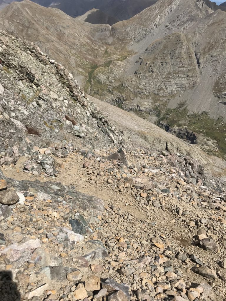
I’m loving this though – I do it for the thrill!
I’ve just found a good stopping point on a stable ledge when I hear Carly. I shout back until I see her pop up above me to the right. She asks if the terrain below her is doable for a downclimb, so she can get to where I am. I assess the situation and tell her she can do it. Ryan is going to retreat and downclimb another route to meet us.
Good thing we were able to find each other! Carly says their route was more of the same class 3-4 terrain and that it was definitely more difficult than the route was supposed to be. I tell her I feel the same about my experience following the actual route.
After 20 minutes of waiting, Ryan is still nowhere to be seen. We’re yelling his name now, but getting no response. Carly is calling him now that we have service. No luck. I’m starting to entertain thoughts about what could have happened to him.
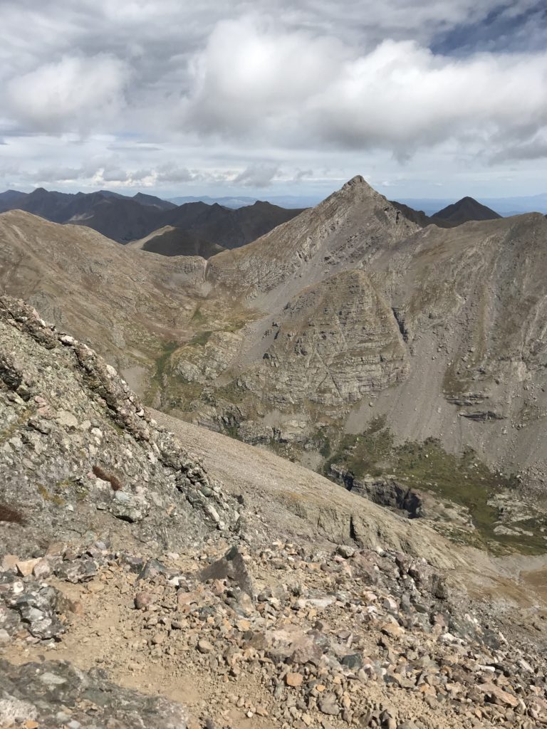
Carly decides to downclimb into the gully to try and find him, or at least get closer to him so he can hear her scream. It’s a sketchy section that turns out to be a waste of her time and energy. She’s still down in the gully when we hear Ryan shouting at us from up above. He ended up scrambling up and onto the ridge and is now waving down at us from the top of the gully. What an asshole!
Carly and I are pretty pissed he decided to take an alternate route without telling us, especially since we wasted time waiting around and semi-worrying. Now, we have to tackle the rest of the gully up, which is a semi-gnarly endeavor. Once that’s taken care of, it’s 11:30am and we’re on the ridge, very close to the summit.
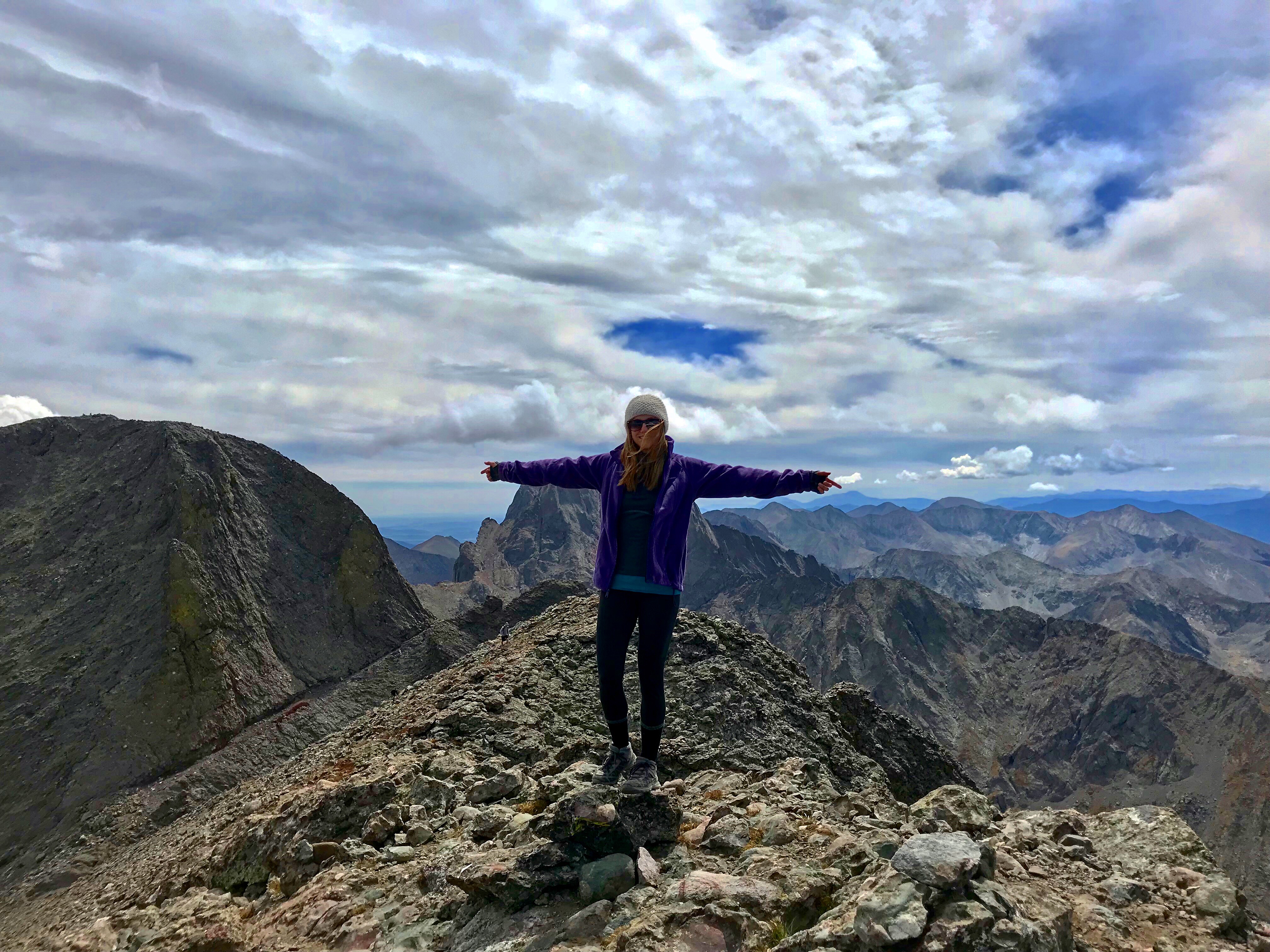
It’s breathtaking up here, and the rest of the hike on the ridge is really enjoyable, especially now that I’ve conquered the hardest sections of Challenger Point. We reach the peak just before noon, which is a very late summit for our plans to hike over to Kit Carson Peak next.
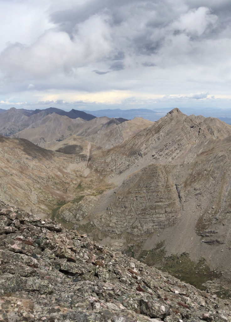
Ultimately, we decide we shouldn’t risk bagging the second peak due to some dark clouds we see rolling in. Those gullies we just climbed are the last places I’d want to be during a storm on the mountain. We’ve also been hiking for over six hours at this point, meaning it’ll take us four to five hours to get down from Challenger Point alone.
We’ll probably never hike Kit Carson Peak (unless we train for the class 4 route up) since none of us want to hike back up Challenger Point ever again!! Although with the new trail completed, and with enough time on our hands (again, unlikely), who knows! Stay tuned!!

Leave a Reply